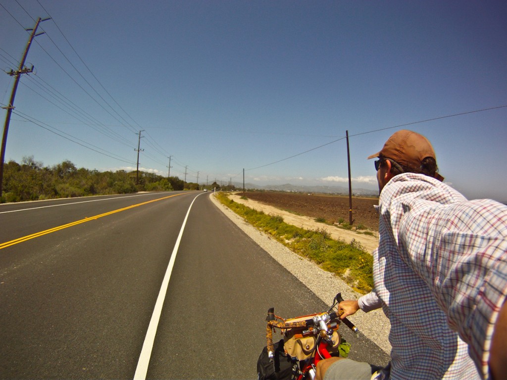
BBT Metric Century – Central Coast Mixed Loop

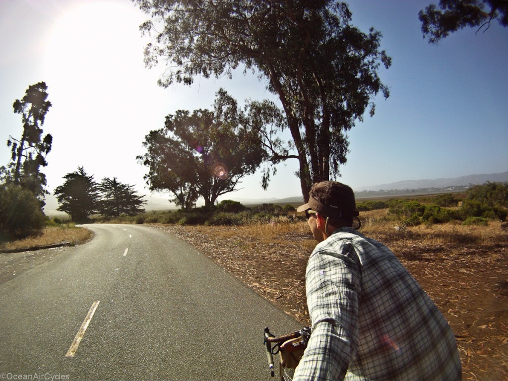
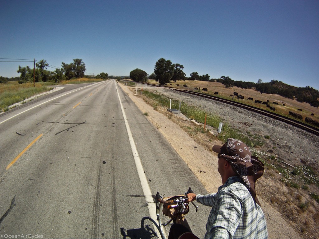
We spent the first part of the 4th of July weekend with family up in Atascadero, Ca and it was beautiful but HOT.  The highs were over 100 deg F most days, so most riding was done as early as possible.  Saturday morning I was up well before the sun,

to head out on a 108 km loop that had been recommended by Big Blue Toe from bikeforums.net.  The route would take me through the ranches and coastal range south of Paso Robles, down to the coast from Cayucos to Morrow Bay, through San Luis Obispo and back up the Cuesta grade to Atascadero.  Here is the map and stats:


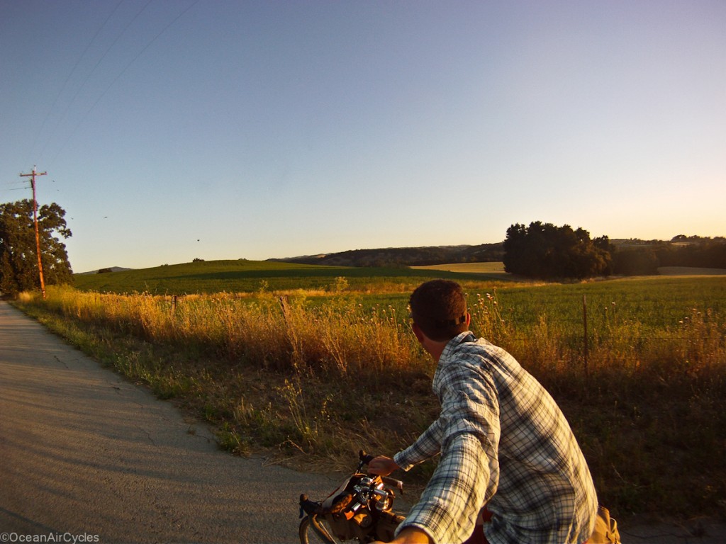
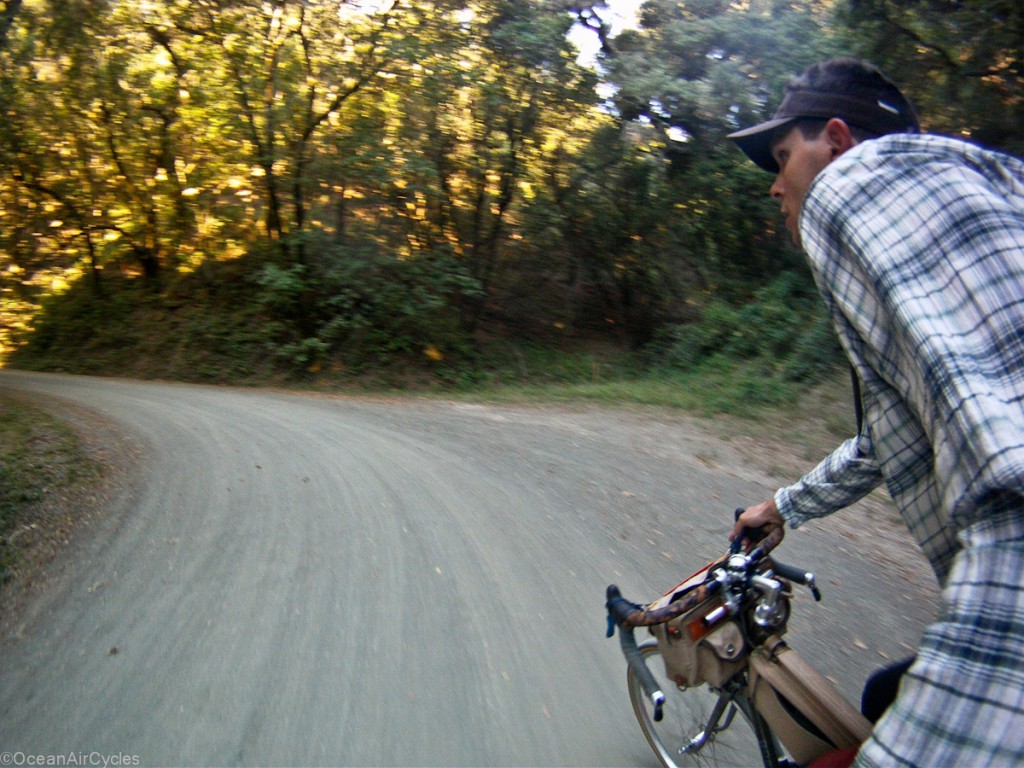
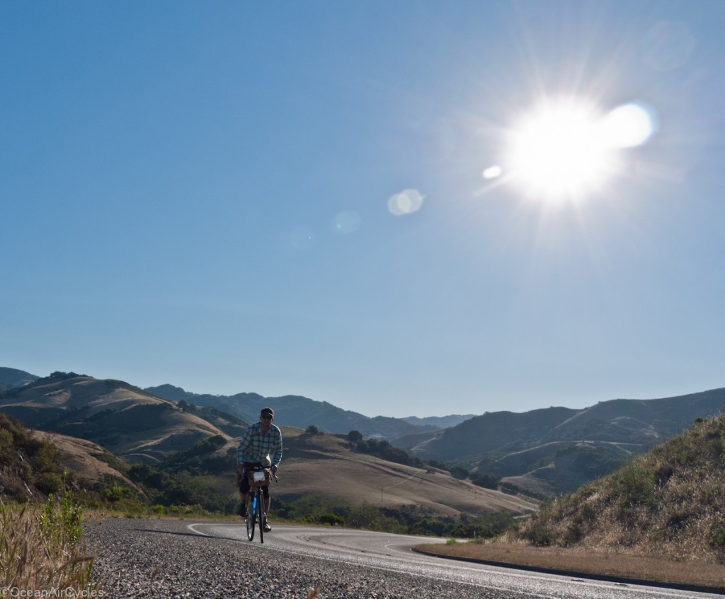
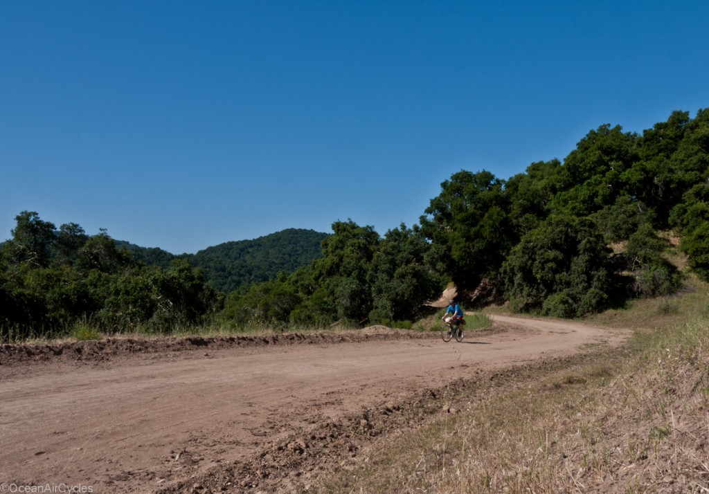
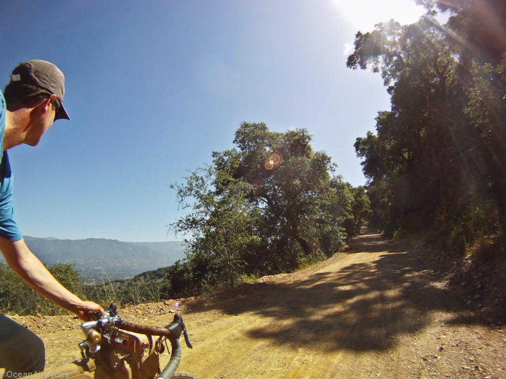
The first third of this ride through the hills along mostly dirt roads was hands down the most beautiful ride I have ever done along the central coast.  I look forward to incorporating it into other loops in the area.

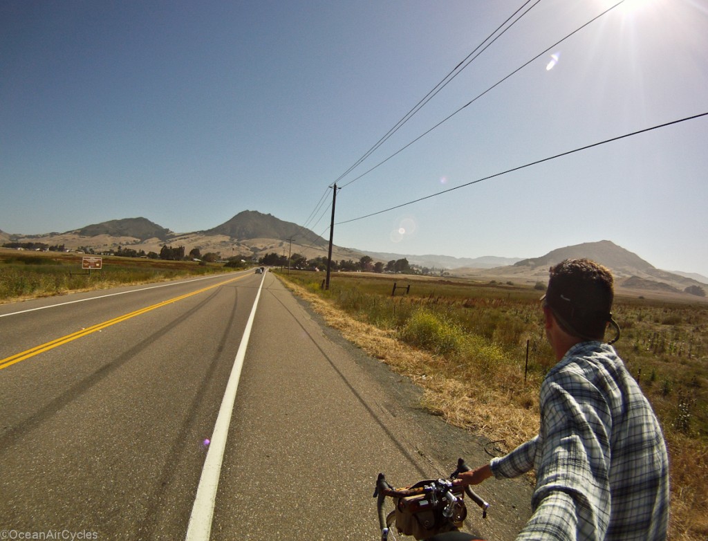
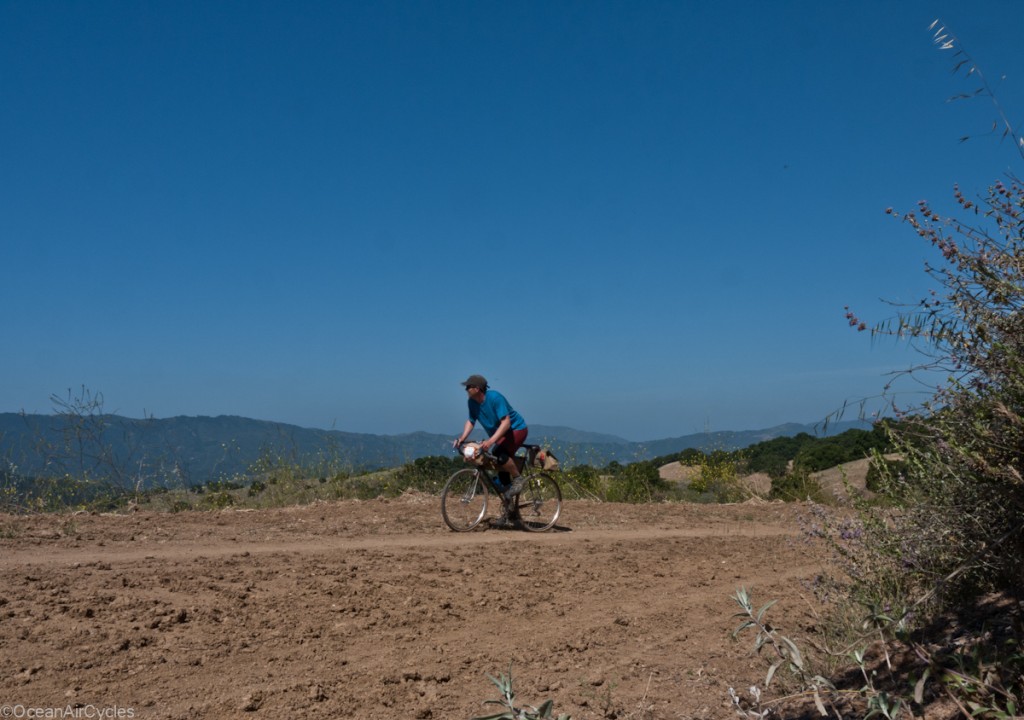
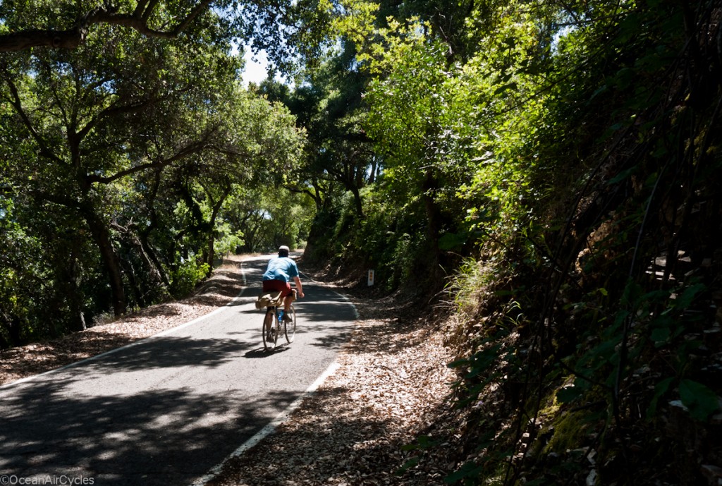
On the stretch between Atascadero and the coast I think I saw no more than ten cars.  The time of day may have had somethng to do with it, but I will take it where I can get it.  The hills have transitionioned from spring green to summer gold, while the trees are green and thick providing welcome shade in many areas.

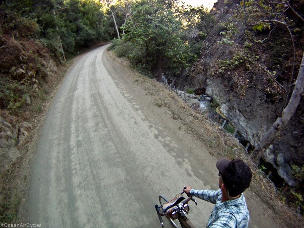
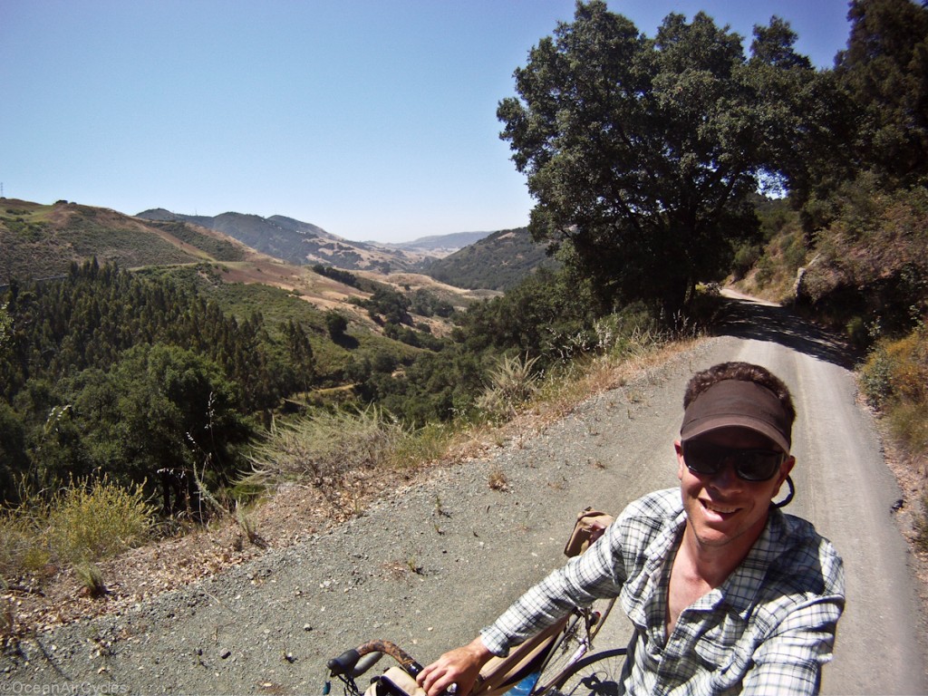
Twenty miles of country back roads with fourteen miles of well mainteined gravel made for a wonderful morning of riding.  For most of the gravel section there was a creek runnng alongside the road with the occasional mini waterfall

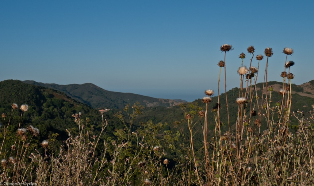
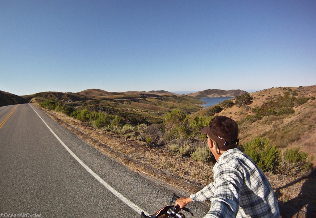
After a few hours I had my first glimpse of the coast and ocean:

It looked like there may be a bit of welcome fog hanging on which would help keep the day’s temperatures in check.  The drop down to the coast was incredible, with ony a short climb along Old Creek Road,

and then down hill the rest of the way.

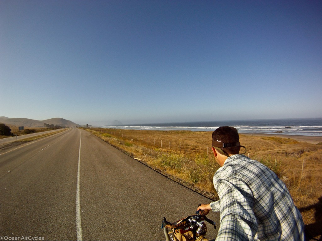
Once on the coast the temp had dropped almost 10 degrees thanks to the sea breeze.  Traffic was still light on the Hwy 1 into Morro Bay, you can just see Morro Rock through the  fog.

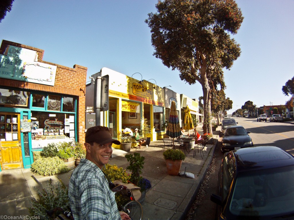
Once in town it was time for a coffee break.  I had been on the saddle for a little over four hours at this point.  Morro has no shortage of coffe shopes these days.  My Aunt nad Uncle have some friends that own the best IMO, Top Dog, and is well worth a stop if you ar pssing along on this stretch of coast.

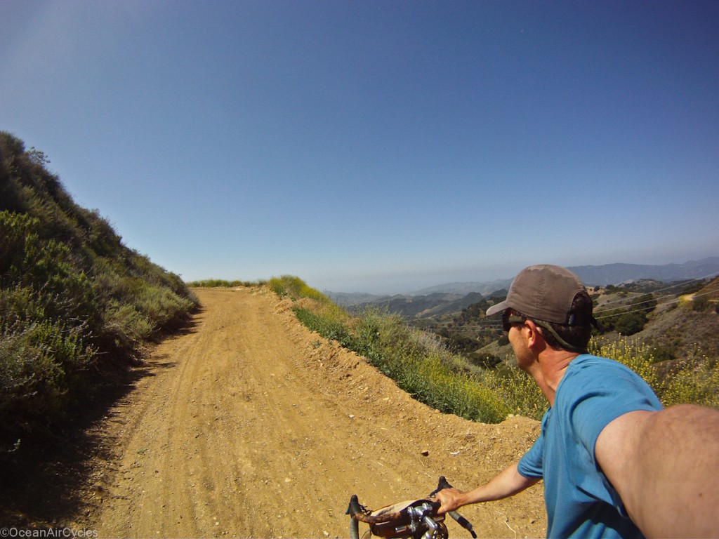
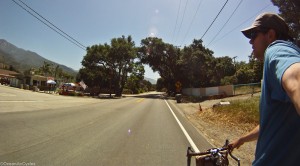
Keeping a comfortable pace, fat tires and having you bike well set up makes it much easier to smile like this after 4 hours of non stop riding.  The 20 minute break was welcome, but I knew I would regret it as the day was heating up.  Back on the road I headed out through the state park and estuary  to Los Osos..

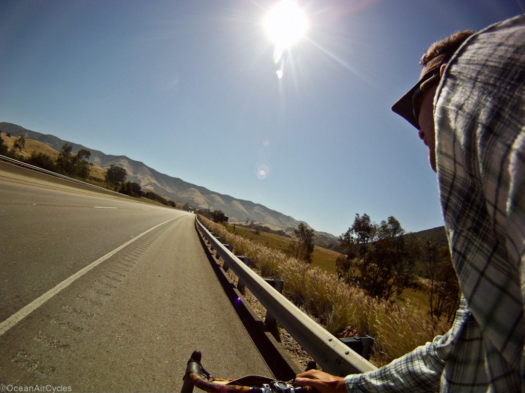
From there it was hot and uphill for the long ride home through SLO and back up the grade.

Things were heating up incredibly fast and I knew it was going to be a tough hot ride up the Cuesta grade.  Once out of SLO the next 5 miles has a gain of almost 1000 feet.  The planned route kept me off of the highway shoulder and on the old Stage Coach Rd, with more gravel.  At the start of the way out of town spirits were high, and things were looking good.

An hour and 1000 feet later I was still moving, but thiking this was a much better idea on paper. 

In 20/20 hind-sight, and post ride review of the map I realised that many of the bike walking sectoins were pushing 20%.  This is still very ridable if you have appropriate gearing and the legs for it.  I had both, but had not fully planned for the temps creeping closer to 100 deg.  Once over the crest the ride was all downhill.

What an incredible day.  Things were going very well untill the climb out of SLO.  I slipped on my water intake thinking I was “almost there” and paid the price with some serious cramps setting in 5 miles from home.  I have been using a watch to remind me to drink a bottle an hour, but should have been drinking a bit more in anticipation of the rising temps.  My usual blend of Hammer Nutrition HEED and Perpetuem was not enough this day.  Luckily I was able to lounge in the pool and rest through the rehydration phase.

I look forward to rdiding every leg of this loop in different combinations in the future.
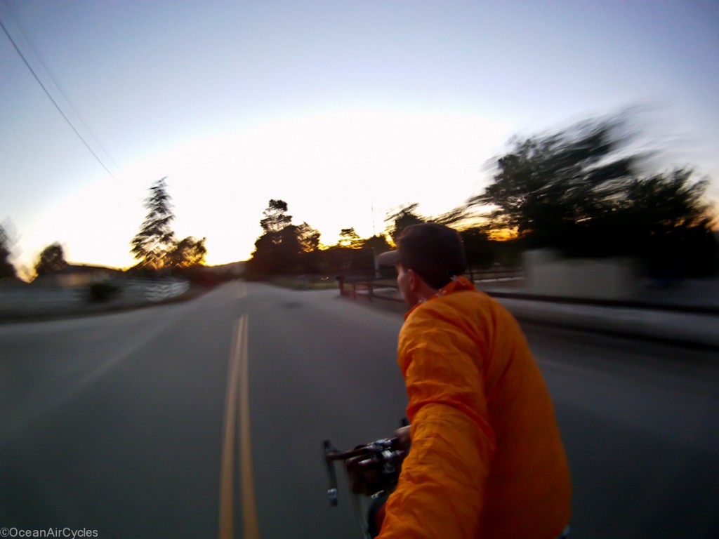
Sulphur Mountain Loop Through Santa Paula

I was able to take the whole morning for myself yesteray and ride a long mixed terrain loop.  I headed out along the Ventura River trail to Sulphur Mountain Road.  The whole loop is about 50 miles long, about 1/4 of that is dirt.  Lots of climbing and lots of incredible descents.  Here is a quick map of the ride:

Almost 50 miles and 4000 feet of climbing. 

The weather was incredible, temperature in the 60’s the whole time, clear and sunny with just a little coastal haze.  The first 8 miles along the paved river trail is a nice way to get the legs warmed up for the climbing to come.  Crossing the Hwy 33 onto Sulphur Mtn Rd, it is another 10 miles or so of perfect dirt ranch road.
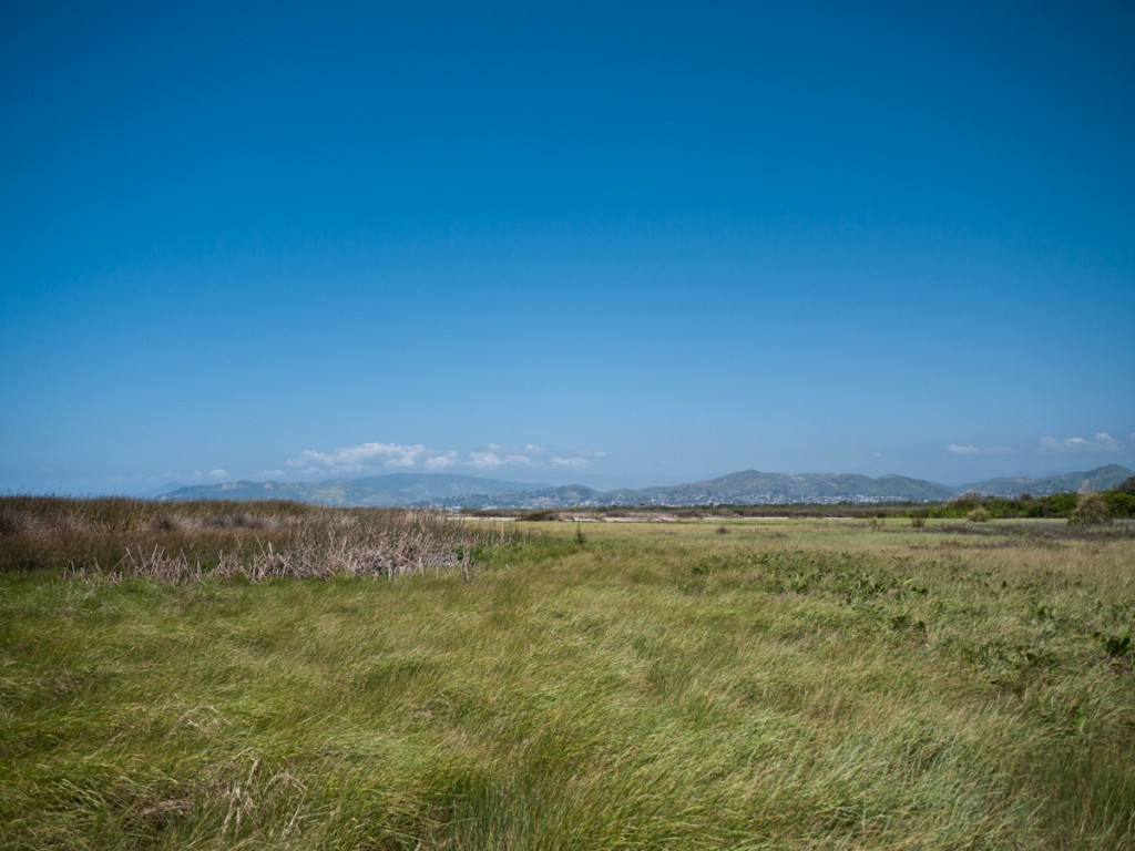
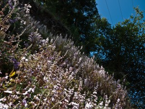
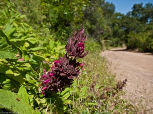
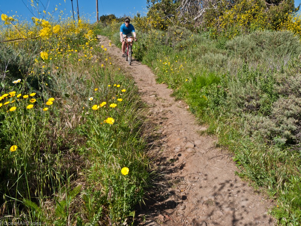
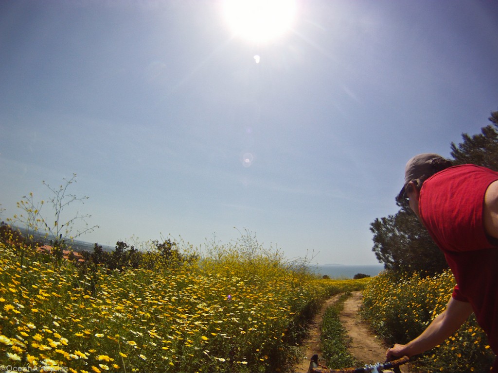
The grass is already starting to turn brown for the summer, but there is plenty of color left in the trees and wild flowers.

There is no traffic on the road save for the occasional rancher and some cows. THis day was no exception.  I saw plenty of birds, cows, squirels, rabbits and a couple of snakes, but only 3 other people.  With a couple of level sections and a short drop here and there it is primarily straight up for the whole 8 miles.  The road twists and turns affording views of the coast.

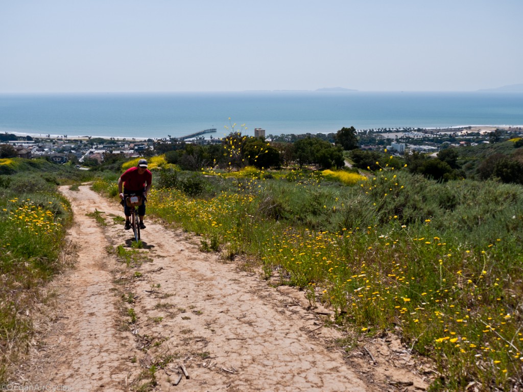
On days without our coastal haze, and seasonal fog you can get clear views of the ocean and Chanel Islands.  Looking out the other direction is the Ojai valley and the coastal ranges beyond.

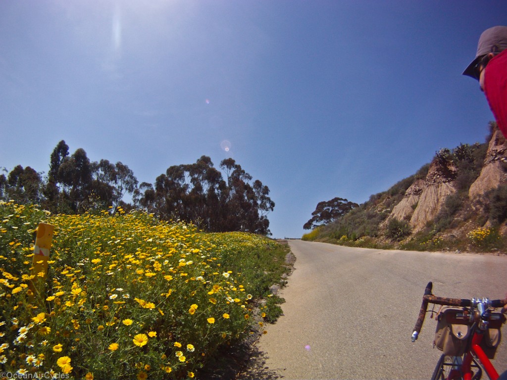
After mile 10 things get a little steeper and hotter, usually by this point I am wishing I had left the house a bit earlier to beat the heat.  This time I was caught by Jim on his bike and we were able to chat as we spun our way up.  It really helped pass the time and the last bit of dirt a gravel passed in no time.  Jim turned back to ride down the dirt, I pressed on to the east for a different ride.  The road turns to single lane paved fo ra couple of more miles with some welcome tree cover in the afternoon heat.

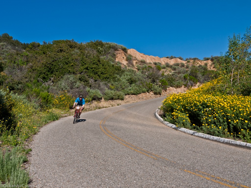
Then, after 12 miles of climbing I reached my real goal for the day.  Five minutes of perfect twisty back road descending.  This is my favorite gravity ride in the entire region.

The tires were covered in dust by the time I had reached the top.  After the ride down they were cleaned back to black more than half way out to the edges.  With the best fun past, I continued east on the Hwy 150 towards Santa Paula.  There was a bit of climbing to the summit.  Then Downhill all the way in to Santa Paula.  This was a refreshing leg of the ride after all of the climbing.  Also, I had only ridden this leg westbound in the past.  Going down these 6 or so miles was a little more pleasant than the usual slog up. 

As I neared Santa Paula I could feel the Spring winds starting to come up and realised the folly of my route planning.  All year-long our predominant winds are out of the west off of the ocean.  In the spring and fall though it can come up into the 20 mph or greater rang and really change the ride.  The next 18 miles were straight into the wind.  My legs were fried 5 miles in.  The wind was a steady 15 mph with gusts well above 30 mph as I worked my way along the foothills back towards home.  The only consolation was the miles of fresh, silky smooth, black top.  This stretch of road is primarily agricultural and has been beat to a pulp over the years.  The new pavement was a pleasant surprise, but could not make up for the wind.  My legs were starting to cramp and I new I should have packed a backup electrolyte powder.  I pushed on knowing I was almost home.  The ride back into town was perfect.  The wind was still there, but coming straight off the ocean it was 10 degrees cooler.

A little sun burned and a lot tired it was a great way to take a break, get outside and get ready for the next big push.  I need to make the time to do this more often.

Friday Ramble

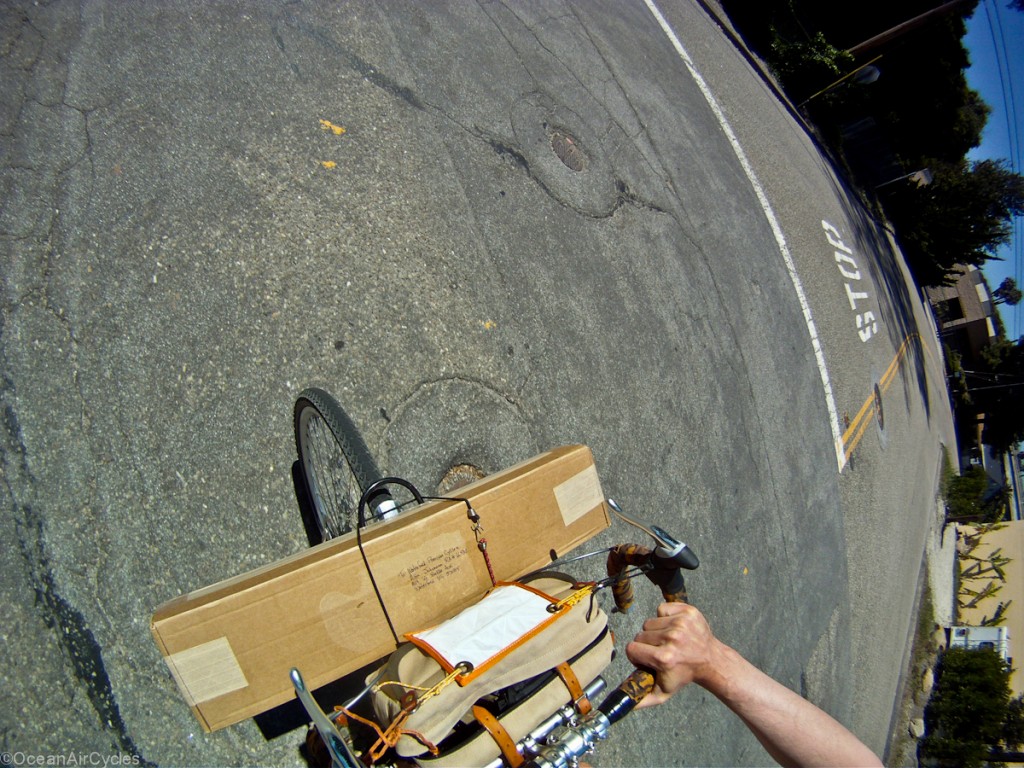
This afternoon I had some time to take the Roadeo fork over to the big brown trucks and ship it back to its creator for repair.

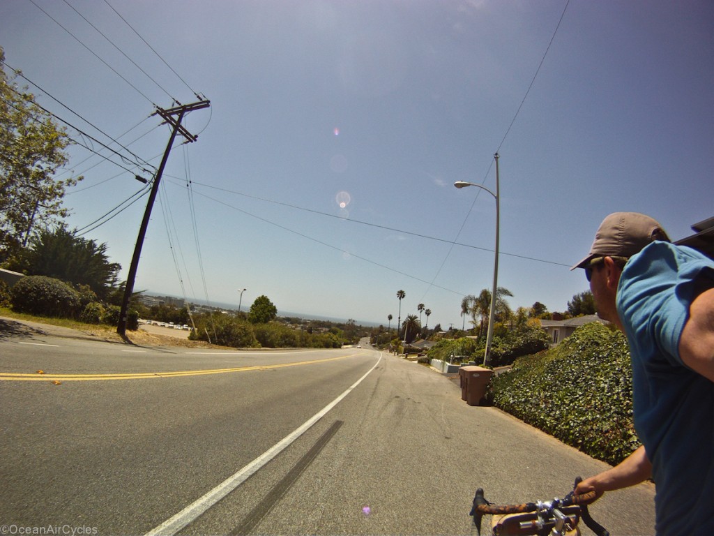
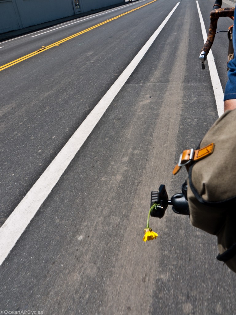
Then I rambled all through town, followed the signs for the “Bike Route” for the first time, Up through the hill-side neighborhoods finding many dead ends, and then up through the park to home.

Perfect way to cap off the week.  Now to get dinner ready.

Enjoy your weekend, Play outside!!

Farmer’s Market Detours

I was on my way to get the vegetables when I decided to pull into McGrath State Park and explore some of the trails along the south side of the Santa Clara

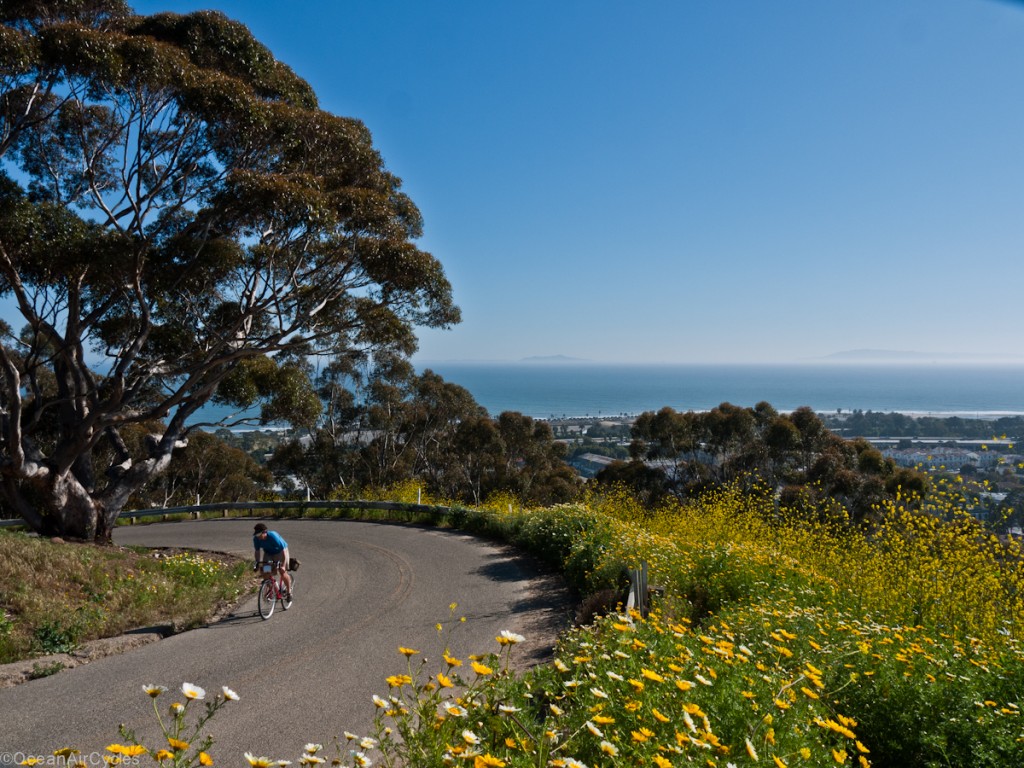
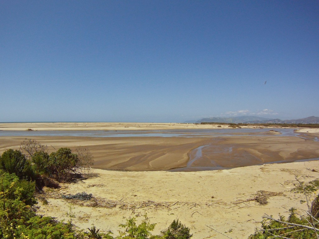
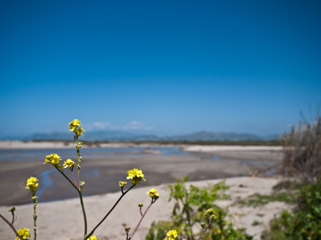
The winter rains have kept things flowing, the estuary is drained out a bit and everything nearby is green and blooming.

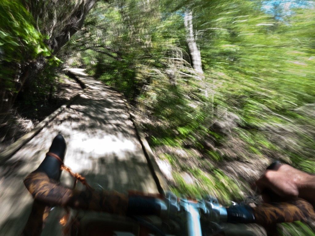
Explored some of the trails through the canopy

Then back to the mission at hand, well stocked for the week and heading home.